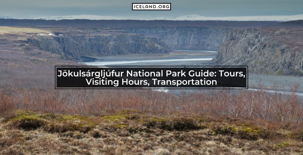
Jökulsárgljúfur is the smallest of the National Parks in Iceland with an area of only 18 square miles. Jökulsárgljúfur National Park is located in the northern parts of the country with geographic coordinates 65.9179° N, 16.5189° W. This Jökulsárgljúfur National Park Guide will tell you all you need to know about the national park.
The Jökulsárgljúfur National Park was protected as a national preservation area in 1973 but later on, in 2008 it was merged with Vatnajökull. Today, Jökulsárgljúfur is the northernmost area of the Vatnajökull National park (Iceland’s largest park). It is usually visited together with other landforms in the park.
What are the Features of Jökulsárgljúfur National Park?
Here are the features of the Jökulsárgljúfur National Park in Iceland:
- Location: northern parts of the country
- Coordinates: 65.9179° N, 16.5189° W
- Area: 18 square miles
- Establishment: 1973
- Rivers: Jökulsá á Fjöllum River
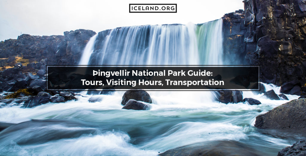
- Waterfalls: Selfoss, Dettifoss, Hafragilsfoss and Rettarfoss
- Canyons: Ásbyrgi Canyon
- Mountains: Rauðhólar Mountain
- Valleys: Vesturdalur Valley.
How is the Geology of Jökulsárgljúfur National Park Area?
The Jökulsárgljúfur National Park features some of the best forms of geology of Iceland. The park is rich in different landforms such as valleys, canyons, rivers, waterfalls, and mountains.
Is it Allowed to Hike in Jökulsárgljúfur National Park in Iceland?
Yes, it is allowed to hike in the Jökulsárgljúfur National Park in Iceland. In fact, Jökulsárgljúfur is one of the most popular hiking destinations in the country. The Jökulsárgljúfur park features many marked hiking trails leading to the Selfoss Waterfall, the Ásbyrgi Canyon, or even Lake Myvatn. The hiking trails are clearly marked and with different colors based on difficulty.
How to Camp in Jökulsárgljúfur National Park?
To camp in the Jökulsárgljúfur National Park visitors need to check in the Ásbyrgi camping ground. The camping ground is not open year-round due to poor weather conditions. The Ásbyrgi campground opens in the middle of May and stays open until the end of October.
What is the prominence of Jökulsárgljúfur National Park for Iceland Culture?
Jökulsárgljúfur National Park is mostly important for Icelandic Culture for the myths about the formation of the Ásbyrgi Canyon. Namely, based on old tales, the horseshoe-shaped depression was formed when Sleipnir, Odin’s flying and eight-legged horse left a hoof print on the land.
What are the Tours for Jökulsárgljúfur in Iceland?
Tours in Iceland for the Jökulsárgljúfur National Park are diverse. Popular tours include visits to the horseshoe-shaped depression Ásbyrgi, the Jökulsá á Fjöllum River with its waterfalls (Selfoss, Dettifoss, Hafragilsfoss, and Rettarfoss), the strikingly red Rauðhólar Mountain, and the Vesturdalur Valley with Hljóðaklettar rock formation (rock of echoes). It should be noted that the Tourist Information Center of the Jökulsárgljúfur National Park is located in Ásbyrgi but because of harsh conditions, it is closed during the winter months.
What are the Best Hotels for Jökulsárgljúfur National Park?
The best hotels in Iceland for the Jökulsárgljúfur National Park are Hrafnavellir Guest House (in Hrafnavellir), Apartment Brekka í Lóni (in Stafafell), Guesthouse Birkifell (in Nesjum), Stafafell Cottages (in Stafafell), and Setberg Guesthouse (in Nesjum).
What to do in Jökulsárgljúfur National Park?
There is an array of things and activities visitors can do in the Jökulsárgljúfur National Park in Iceland. From visiting the mentioned natural attractions to hiking the area, and participating in photography workshops. To get the most out of the Jökulsárgljúfur National Park tourists can go on self-drive tours or book a guided tour.
