Iceland Resorts: Your Guide to Holidaying at the Edge of the World
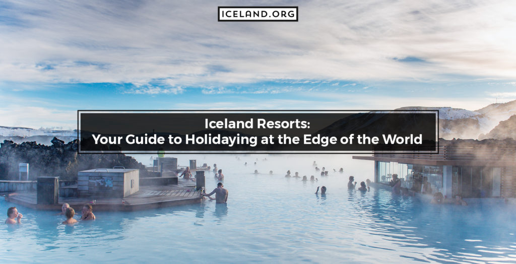
You won’t believe it. Before Iceland became filled with tourist sites, it was an abandoned land; one of the last places to be inhabited by humans. Now, with over 150 waterfalls and hot springs, everyone longs to go to the little island between the Greenland Sea and the Atlantic Ocean for a getaway. Even business […]
Iceland Resorts: Your Guide to Holidaying at the Edge of the World Read More »