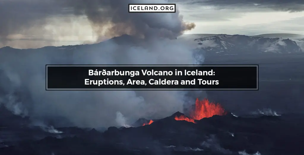
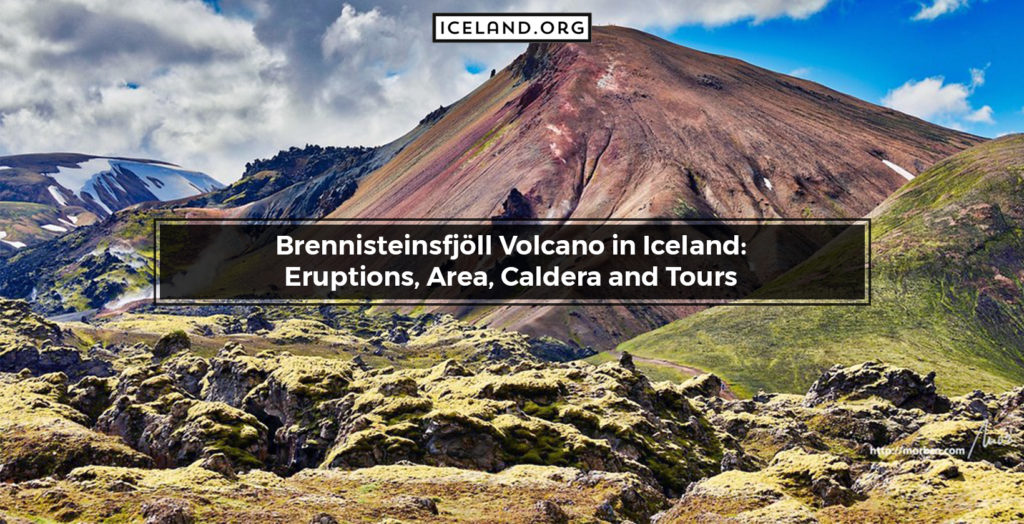
Bárðarbunga is one of the several notorious volcanoes in Iceland. It is classified as a subglacial stratovolcano and is ice-covered by Iceland’s largest glacier Vatnajokull. With a peak of 2.009 meters, Bárðarbunga is the second-highest mountain in the country. Bárðarbunga is still active and a popular attraction for tourists. It was named after the early settler named Gnúpa-Bárður, and in translation, it means “Bárður’s bulge.”
Where is the Location of Bárðarbunga Volcano in Iceland?
Bárðarbunga Volcano is located in the southeast of iceland at the northwestern end of the Vatnajokull National Park. The geographic coordinates of Bárðarbunga are 64.6410° N, 17.5280° W.
When did Bárðarbunga Volcano Errupt last time?
The Bárðarbunga Volcano’s last eruption started in August 2014 and ended on the 28th of February 2015. The eruption was announced by over 1.600 earthquakes that started 48 hours before Bárðarbunga erupted. Following the eruption, a new fissure between Bárðarbunga and Askja formed within the Holuhraun lava field. This also caused chaos and stopped international air travel.
What are the Features of the Volcano of Bárðarbunga?
Geologically speaking, Bárðarbunga classifies as a subglacial stratovolcano. The Bárðarbunga volcano is part of a massive volcanic system that is 200 kilometers long and as much as 25 kilometers wide at its greatest. The volcanic crater is filled with glacier ice that is up to 850 meters thick.
What are the Tours for Bárðarbunga Iceland?
Tours for Iceland include visits to the Bárðarbunga Volcano. Bárðarbunga is a popular attraction, especially for adventurous tourists that want the adrenalin linked with visiting an active and notorious volcano.
