Gufufoss Waterfall in Iceland: Height, Flow, Location, and Tours
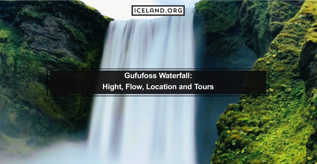
“Gufu” or Gufufoss Waterfall in Iceland, is among the biggest waterfalls in the eastern region of the country. It lies along the road as you drive from Seyðisfjörður to Egilsstadir and is close to several other waterfalls in this region of Iceland. You can see Gufofoss from the road you drive on, although you can […]
Gufufoss Waterfall in Iceland: Height, Flow, Location, and Tours Read More »