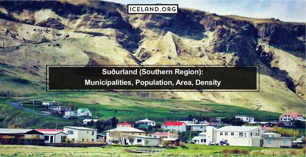
Suðurland is the southernmost region in Iceland and encompasses most of the country’s southern half. It is a large region incorporating the southern coastline and much of the Icelandic Highlands. It is 24,256 square kilometers (9,365 square miles). It has a total population of 28,399 spread throughout the entire area in small settlements. The overall population density is 1.17 people per square kilometer.
This region has the highest number of organized municipalities at fifteen. These include the below mentioned.
- Ásahreppur
- Bláskógabyggð
- Flóahreppur
- Grímsnes- og Grafningshreppur
- Hrunamannahreppur
- Hveragerðisbær
- Mýrdalshreppur
- Rangárþing eystra
- Rangárþing ytra
- Skaftárhreppur
- Skeiða- og Gnúpverjahreppur
- Sveitarfélagið Árborg
- Sveitarfélagið Hornafjörður
- Sveitarfélagið Ölfus
- Vestmannaeyjabær
Where is Suðurland Located?
Suðurland not only incorporates most of the southern coastline of the island but also extends up into the Highlands of Iceland. Its GPS coordinates are 63°55′59″N 20°59′49″W.
Is Suðurland the Biggest Region of Iceland?
Yes, Suðurland is the biggest region in Iceland. It has a total area of 24,256 square kilometers (9,365 square miles). The next largest region is the Eastern region, with about 22,000 square kilometers.
What is the population of the Suðurland Region in Iceland?
The population of the Suðurland Region is 28,399 people. It has an overall density of 1.17 people per square kilometer (3 people per square mile).
Which cities are in the Suðurland Region of Iceland?
The largest town in the Southern Region of Iceland is Selfoss. It has a population of 6,000 people. Vik is another one of the primary settlements in the region. However, this is because of its close location to some natural features instead of its population. Outside of the tourist season, only 318 people live in Vik.
What to do in Suðurland Region?
The Suðurland Region in Iceland is one of the most popular regions to visit because it includes some of the most beautiful areas in the country. This includes Thingvellir National Park. You can hike extraordinary mountains within the National Park, visit the ancient Thingvellir Church, or walk to the Oxararfoss waterfall.
Vik is another beautiful area just along the coastline of the Suðurland Region. Reynisfjara is a beautiful black beach including Dyrholaey rock arch extending into the ocean. Eldfell Volcano is in the Southern Region and Selfoss Geyser if you want to see extraordinary examples of geothermal and volcanic activity.
What are the Hotels in Suðurland?
Most of the hotels in the Suðurland Region are located along the Ring Road that runs along the southern coastline through this region. Some of these include Hotel Laekur, Hotel Ranga, and Hotel Kria.
What are the Glaciers in Suðurland?
There are quite a few large glaciers in this region. These include Vatnajokull, Langjokull, Myrdalsjokull, and the infamous Eyjafjallajokull, to name a few. These define many of the beautiful natural areas you will find in this region.
What are the Mountains in Suðurland?
Many of the mountainous areas in this region are actually glaciers, volcanos, or both. For example, Hvannadalshunukur is the highest peak in the Oraefajokull volcanic glacier within the famed Vatnajokull National Park.
What are the Volcanoes in Suðurnes?
The most prominent volcanic system in Suðurland Region is Reykjanes. The Reykjanes Volcanic System consists of volcanic and tectonic fissures, lava fields, postglacial basaltic crater rows, and small shield volcanoes.
