The Markarfljót River in Iceland is 62 miles (100 km) long. It originates from an area just east of the Hekla volcano. The primary sources for this well-known river are the glaciers Mýrdalsjökull and Eyjafjallajökull. It moves from narrow gorges in the mountainous area around the volcano before becoming much winder through the sandur plains on the south coast.
What to do in the Markarfljót River of Iceland?
The Markarfljót River has formed the Markarfljót Valley, one of the many beautiful natural areas to visit in Iceland. Hiking close to the river in the valley is one of the most popular activities. There are several mountains in the area, including Mt. Helka through the Fjallabak reserve. There are also horseback riding tours throughout the picturesque valley.
Is it dangerous to swim in the Markarfljót River?
Certain areas along the Markarfljót River are safe to swim in, while other spots are pretty dangerous. For example, the Krossa river, one of the Markarfljót’s tributaries, is notorious for quick changes in the water level because of intense discharges from the Markarfljót.
Is it possible to use a boat on the Markarfljót River?
There are areas along this river in which you can use a boat. However, it is best to look up distinct maps or talk to local tour guides before taking a boat out on the river.
Which fishes can be caught in the Markarfljót River of Iceland?
There is a possibility of catching fish in this river. However, it is not overly common to find a lot of success, so it is not a popular fishing location. Instead, it is better known for stunning views and picturesque scenes on a hike.
How is the Environment of the Markarfljót River?
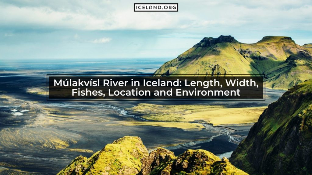
The environment around the Markarfljót River is known for being lush and beautiful. Depending on whether you are in the canyons close to the origin point of the river or the plains when the river widens, the type of scenery will change.
What Canyon is the Markarfljót River Located in?
The Markarfljótsgljúfur is not one of the well-known canyons, even though it is a beautiful spot. This is mostly because of its more remote location in the Highlands. It is over 200 m (656 feet) deep, having been carved out by the river for many years.
What are the Hotels and Roads for the Markarfljót River?
The road F261 runs right alongside the river valley for a while, giving you access to many of the hiking routes in the area. Pull off Route 1 onto Route 261 to get to this access road. Further south, before flowing into the ocean, Route 1 also crosses the river.
The closest hotels to the river include the Bru Guesthouse and Hotel Selja on the west bank. There is the Paradise Cave Hostel and Seljalandsfoss Horizons on the east bank.
Is there a Fishing Lodge around Markarfljót River?
There is not a fishing lodge very close to this river since it is not well known for being an excellent place to fish.
Is there a Bridge for the Markarfljót River in Iceland?
The first bridge built over the Markarfljót River was in 1934. It was 242 meters long, and at the time it was built, it was the longest bridge in Iceland. Another bridge followed it in 1978, close to Emstrur. The third and most recent bridge was opened in 1992, just south of the second bridge.
What are the closest cities to the Markarfljót River of Iceland?
The Markarfljót river is between Reykjavik and Vik, one of the more popular areas to pull off along the Ring Road. Unfortunately, the river is not very close to any other villages of note.


