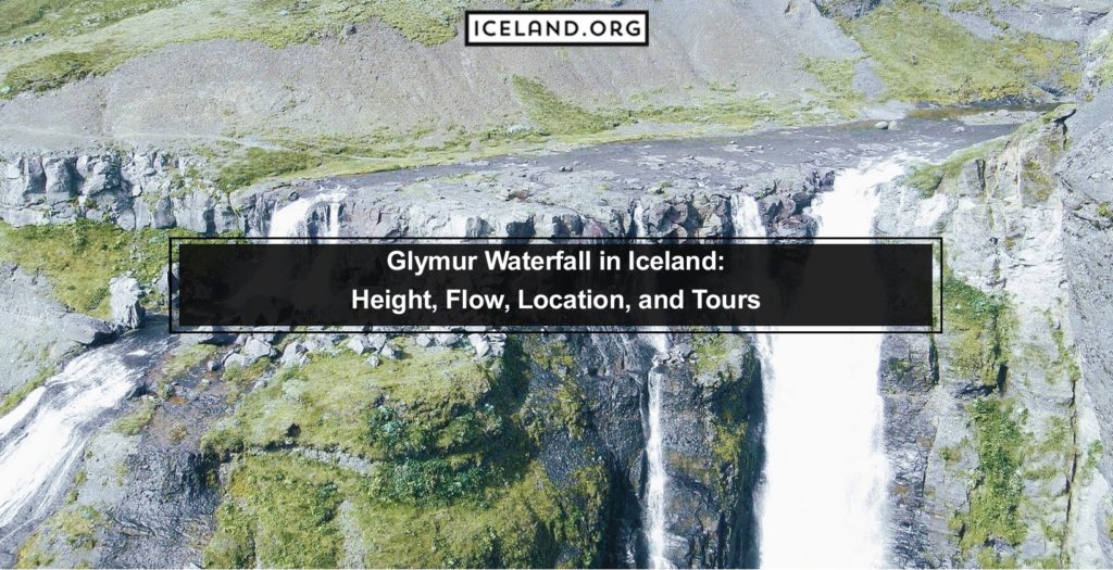
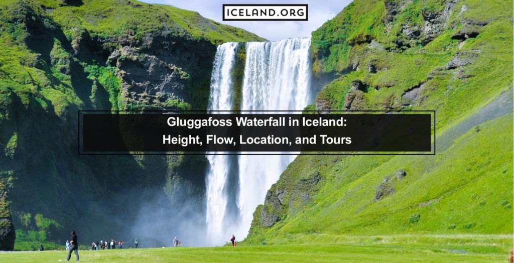
Glymur waterfall is one of the more popular waterfalls in Iceland for tourists that enjoy hiking. It held the position as the tallest waterfall in Iceland until 2007, when the melting of glaciers made another waterfall visible that turned out to be taller than Glymur. The Glymur Waterfall in Iceland is 198 meters (650 feet) tall.
However, the Glymur Waterfall in Iceland is still a beautiful waterfall and is even more rewarding since you have to reach it by a trail instead of driving right up to it.
What are the Tourist Activities for Glymur Waterfall?
Glymur waterfall is just across the border between the Capital Region and the Western Region. It is close to the settlements of Borgarnes and Akranes, which are significant commerce centers for the Western region and have interesting historical backgrounds since they have been settled for more than 1,000 years.
Other than Glymur, you can also visit nearby waterfalls, Hraunfossar and Barnafossar. There are also the hot springs called Deildartunghver in the area near the village of Reykholt. Many tours take tourists from Reykjavik to the “Snaefellsnes Peninsula,” visiting Glymur along the way.
What are the Hotels for Glymur Waterfall?
If you visit Glymur, you will likely want to continue on your way to Borgarnes if you are heading North or Reykjavik if you are heading South to find more accommodation options. In Borgarnes, you can find the hotels B59 Hotel, Blómasetrið – Kaffi Kyrrð, and Egilsguesthouse-Kaupangur. In Reykjavik, there are many accommodation options among the tranquil hotels in Iceland.
How to Go from Reykjavik to Glymur Waterfall
To get to Glymur from Reykjavik, you will take Route 1 or the Ring Road until you reach Route 47 just before crossing the bridge to Borgarnes. Route 47 will take you almost to Glymur. At the end of the road to Glymur Waterfall in Iceland, there is a parking lot. From there, you will need to hike several miles to reach the waterfall. It is best to go from June to September when there isn’t snow on the ground.
What are the Facts about Glymur Waterfall?
The hike up to Glymur waterfall should be done by those with a reasonable level of fitness. The route is marked with yellow marks and signs. Just watch out for offshoot trails as some of these will direct you away from the waterfall. The Botnsa River is another location you can visit on your hike beside the waterfall.
Is there a National Park for Glymur Waterfall?
The closest national park of the National Parks in Iceland to the Glymur waterfall is Thingvellir National Park. From the waterfall’s parking lot to the entrance into Thingvellir is about an hour’s drive.
Can You Camp near Glymur Waterfall?
There are several campgrounds within an hour’s drive from the waterfall. There are a wide array of options in Thingvellir. However, if you want to move north, you can camp at Camping Þorisstaðir. This campground has plenty of amenities to make it a convenient and beautiful place to camp.
Which Canyons are Connected to the Glymur Waterfall?
One of the canyons of Iceland that is connected to the Glymur waterfall is the Glymur canyon. This waterfall falls into the Glymur canyon, a beautiful and narrow slit in tall cliffs that runs several kilometers away from the waterfall before flattening out.
Which Rivers are connected to the Glymur Waterfall?
The river Botnsa runs from the Hvalvatn lake before running down the Glymur Waterfall in Iceland.
