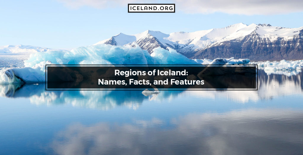
Iceland is divided into eight primary regions separated primarily by geography and some of the larger cities in the country. Each region is different in terms of its culture, its tourist economy, and its landscape. However, they all belong to Iceland and have traditionally Icelandic traits.
These regions are not technically administrative areas. Instead, they are primarily meant to assist with holiday planning in iceland. In addition, they were made for the partial commercialization of tourism in Iceland. They were also made for clarity for those non-natives to the island.
The Capital Region is likely the most culturally important in Iceland. It is also the largest region in Iceland by population. Greater Reykjavik‘s population alone accounts for 64% of the total population of Iceland. However, the Southern region is the largest in terms of landmass by several thousand square kilometers.
The primary regions in Iceland and their sizes include:
- Capital Region: 1,062.2 square kilometers
- Southern Peninsula: 829.1 square kilometers
- West: 9554.5 square kilometers
- Westfjords: 22,271.2 square kilometers
- Northwest: 12,737.6 square kilometers
- Northeast: 21,968.3 square kilometers
- East: 22,721.9 square kilometers
- South: 24,255.2 square kilometers
In this article about the regions of Iceland, we take a deep dive into each of the regions. First, we will discuss Iceland’s geography, location, and cultural significance. We will then look at the cities in each of the regions, the tourist opportunities if you visit the region, and the best time to go.
Once you are done here, you will know everything necessary about each of Iceland’s regions.
1. Höfuðborgarsvæðið (Capital Region)
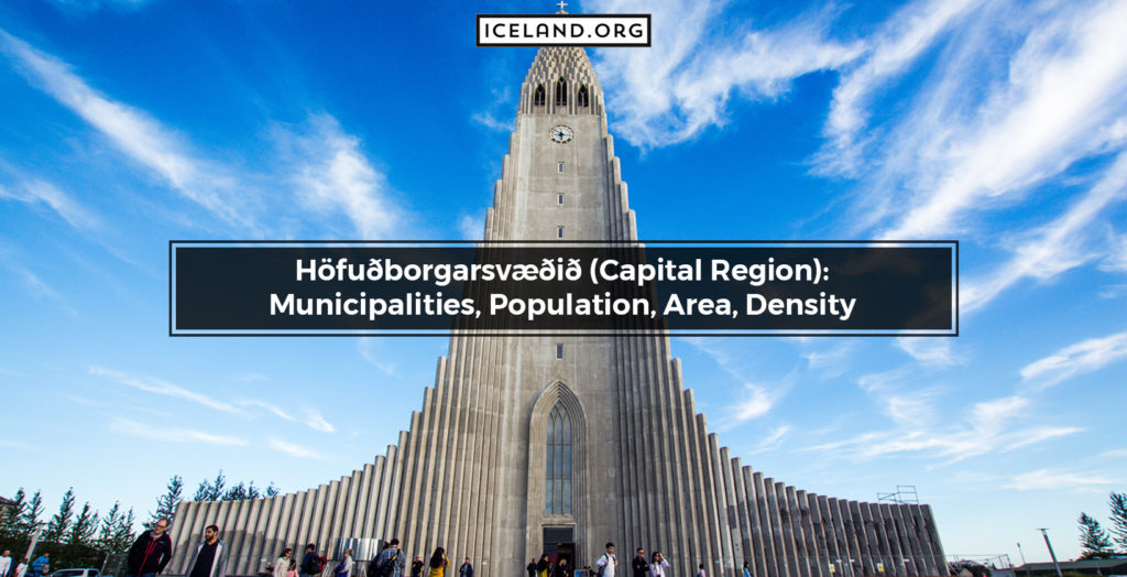
The Capital Region is likely one of the most important to modern-day Iceland. It’s located In the southwestern corner of the country at the geographical coordinates are 64.1846 degrees North and 21.6131 degrees West. Although it contains 62% of the population of Iceland, it is the second smallest region in terms of land area.
This region is so small because the region primarily encompasses the region directly around the capital city. It is not the official term for the region, either. That is because the names we mentioned earlier are not actual administrative regions.
The largest cities in this region are Reykjavík and Kópavogur, with 124,644 and 31,719 people, respectively. Other cities in the region and their population:
- Hafnarfjörður: 26,808
- Garðabær: 11,421
- Mosfellsbær: 8,651
- Seltjarnarnes: 4,322
- Álftanes: 2,392
Reykjavik is by far the largest city in Iceland, which accounts for the dramatic drop in population as we work our way down the list. The Capital Region focuses on the area around these cities and doesn’t encompass much natural geography. It is only a total of 1,062.2 square kilometers.
Reykjavik was technically founded by a Norseman in 874 AD, but it remained a small fishing village until the 20th century. It was founded as the island’s administrative center in 1786 under Danish rule.
If you fly into Iceland from almost anywhere globally, you will fly into an airport close to Reykjavik and be bussed into the city. That makes this region the easiest to reach and explore for visitors. In addition, visiting Reykjavik gives you great insight into the modern culture of Icelandic people.
There were roughly 486,000 tourists in 2020, a distinct decrease due to COVID-19. On average, the island sees around 2 million visitors each year, almost all of them starting in this Capital Region.
If you intend to visit the Capital Region of Iceland, it is best to go from June to September. However, this region is also the warmest region in Iceland, making it more hospitable for tourists all year round. The coldest months are from November to March. The average daily temperature year-round is 8 degrees Celsius.
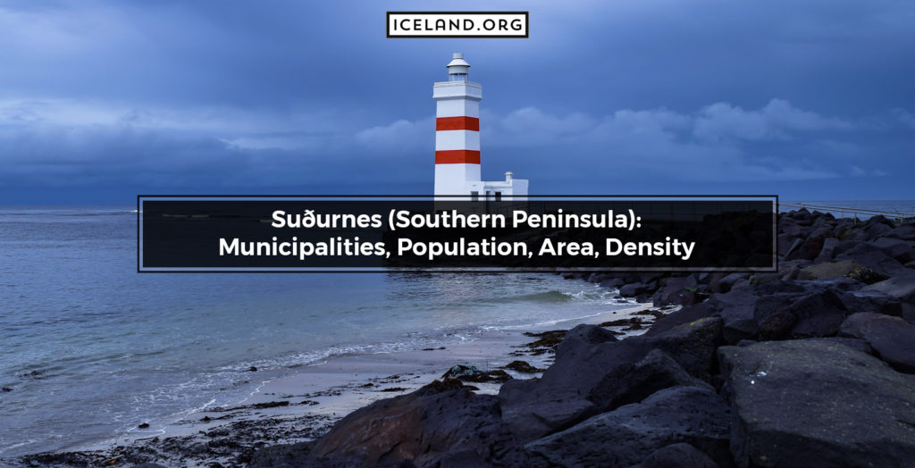
2. Suðurnes (Southern Peninsula)
The Southern Peninsula is the smallest region in Iceland. It is a peninsula on the far West of the Island. It is only 829.1 square kilometers but is still worth visiting if you get the chance. Although the area’s total population is only 27,829 people, its small size makes it one of the most densely populated parts of the country.
The Southern Peninsula is located at the geographical points 63.9155 degrees North and 22.3650 degrees West. The peninsula was likely partially formed and characterized by active volcanoes under the water’s surface. It has large lava fields on land as well. This gives it many hot springs and includes the Krýsuvík geothermal area and Kleifarvatn Lake. However, these geothermally active areas allow very little vegetation to grow and support very little wildlife.
The Southern Peninsula includes several cities that are important to the country, although small. These include:
- Grindavik: 2,856
- Reykjanesbaer: 2,013
- Sandgerði: 1,546
- Garður: 1,429
- Vogar: 1,029
Not only is the area more densely populated, but it is also significant because of the presence of the Keflavik airport. This is the primary international airport that serves the entire country of Iceland. There are about 1.2 million tourists that come to this peninsula each year because of the Blue Lagoon. It is one of the top tourist attractions in the country by far.
Many tour packages in Iceland will include the Blue Lagoon. It is effortless to find a package that will get you to the popular destination from the airport. The best time to go is from June to September, but these months will also be the busiest time of the year.
The weather in this region is similar to the Capital Region. June sees the least amount of rainy days, averaging around ten days of rain in the month. However, September, December, and January are the rainiest months of the year, getting between 16 and 20 days of rain each month.
3. Vesturland (Western Region)
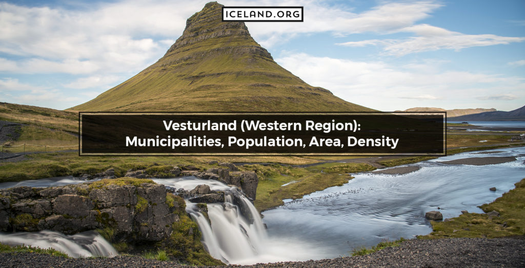
The Western Region is the third smallest by land mass at 9554.5 square kilometers, yet that is a big jump from the two smallest regions. It’s located at the coordinates 64.7704 degrees North and 21.5341 degrees West. Even though it isn’t huge, it is one of Iceland’s most geologically diverse areas.
The population is not particularly dense, with only 16,662 people living in the area. There are only small villages in this area, mostly around the coastline for fishing purposes. The villages in this region and their population include:
- Akranes: 6,612
- Borgarnes: 1,759
- Stykkishólmur: 1,108
- Ólafsvík: 1,010
The Western Region of Iceland includes expansive volcanoes, glaciers, waterfalls, hot springs, craters, and fjords. The Western Volcanic Zone is primarily located in this region. It has morphological characteristics that are distinctive to the Mid-Atlantic Ridge. There have been more than 258 interglacial monogenetic volcanoes that have been investigated.
Some of the top places to visit in the Western Region are centered around these primarily dormant volcanoes. These include the Snæfellsjökull National Park, which has the Snæfellsjökull volcano and an ancient Norwegian House site.
Kirkjufell is another landmark worth visiting in the West Region. It is a beautiful mountain, most often photographed with distant waterfalls during the winter. If you do visit, it is essential to note that the Western Region in Iceland is one of the coldest areas in the country. It is freezing during the winter and doesn’t warm up much even during the summer, so always pack warm.
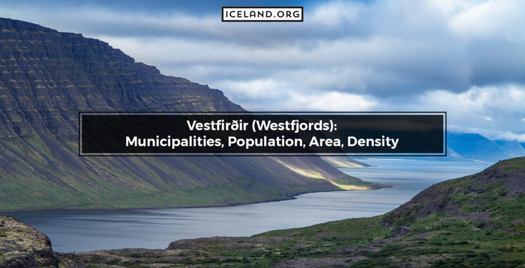
4. Vestfirðir (Westfjords)
The Westfjords is one of the most challenging regions in Iceland to reach since it is in the far North West of the country. However, it has also been voted the most beautiful region in the country for many years. Its GPS coordinates are 65.9196 degrees North and 21.8812 degrees West.
Its stunning geology makes it worth a visit, even if you have to try a bit harder to get there. Using the Ring Road and then branching off to one of the villages is your best bet for traveling. You can also take the ferry from Snaefellsnes Peninsula into the southern part of the Westfjords. It takes about 2.5 hours and, not including the car, costs $45 per person.
If you don’t want to take your car on the ferry, there are plenty of tour options that will include travel and accommodation. That way, you won’t have to worry about finding your way into one of the wilder parts of Iceland.
There are very few villages in this area, and all of them are pretty small. The Westfjords include the waterfall Dynjandi and the pink sand beach of Rauðasandur.
It also has the Látrabjarg birdwatching cliffs, which allows you to get within arm’s reach of the adorable puffins that other parts of Iceland are famous for hosting. The Hornstrandir Nature Reserve is among the most beautiful and remote places in the country to visit.
If you want to visit the Westfjords, you should note that they are almost only accessible in the summer months from May to October. The snow cover makes the roads into and out of the region almost entirely inaccessible. This lack of road maintenance is another reason the villages here are so sparse.
5. Norðurland Vestra (Northwestern Region)
The country’s Northwestern Region is 65.1963 degrees North and 19.2426 degrees West. There are very few villages dispersed across this portion of the country, the largest being Sauðárkrókur, which only has a population of 3,000.
You can drive through Norðurland Vestra if you use the ever-popular Ring Road around Iceland. However, many people tend to pass right through it since there are fewer attractions based solely in this area of the country.
A couple of the tourist attractions you might not want to miss include the Vatnsdalshólar and Vatnsdalsá river. Some tours will take you on the river and certain historically impactful parts of the river. For example, it was the site of the last execution in Iceland in 1830. You can also fish for large salmon on the river but must catch and release.
The most popular draw for this part of Iceland is the HvÍtserkur rock. It is a 15-meter high monolith located on the Vatnsnes peninsula in this region.
6. Norðurland Eystra (Northeastern Region)
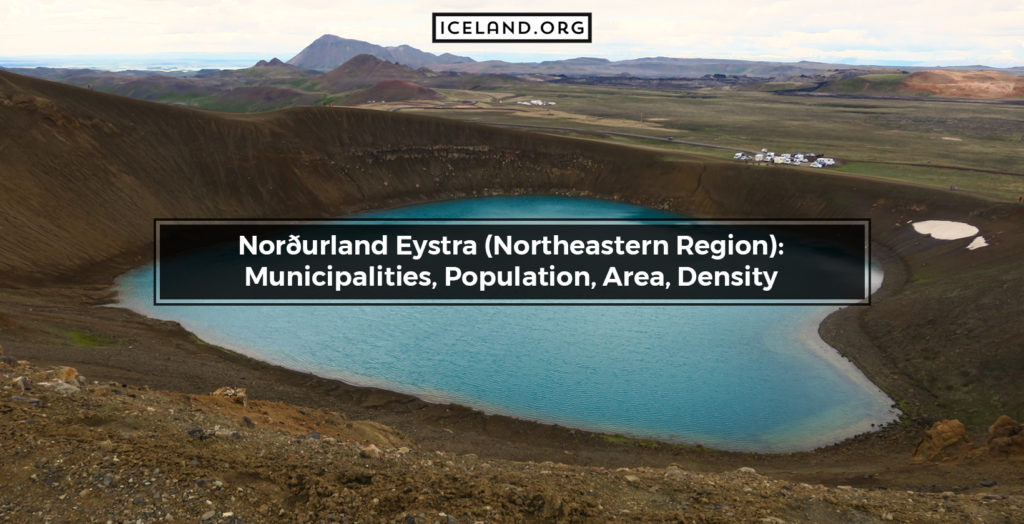
The Northeastern region of Iceland is one of the slightly more populated regions in the North of the country. It is about 70 kilometers from East to West and slightly over 50 kilometers from North to South. Its geographical points are 65.4714 degrees North and 17.0280 degrees West.
The Northeastern region of Iceland features some pretty impressive areas, some of which were even featured in Game of Thrones. However, getting too many of these more engaging areas is mainly for those who don’t mind getting off the beaten track a bit.
The Northeastern part of Iceland features Iceland’s longest glacial river canyon, Jökulsárgljúfur. It is also known as the whale-watching capital of the country. These are the most popular tours you will find in this region of Iceland.
The population in Northeastern Iceland is around 28,000 people. The largest village is Akureyri, with a population of 17,693 people. The other primary village for tourists, primarily whale-watchers, is Húsavík at 2,229 people.
The other primary attraction in the Northeastern region of Iceland is Dettifoss, Europe’s largest waterfall at one end of the Jökulsárgljúfur canyon. It features a drop of 44 meters down to the bottom, and the spray can be seen from many kilometers away.
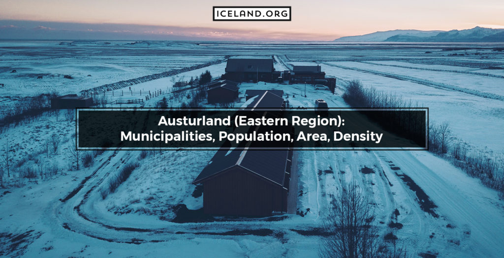
7. Austurland (Eastern Region)
The Eastern region of Iceland is located at 64.8330 degrees North and 15.7434 degrees West. Another name for this region is the Eastfjords. There are only smaller villages in this region. The largest of these is Egilsstaðir, with a population of only 2,303. It is estimated that only 3.2% of the total population of Iceland lives in the Eastern region.
East Iceland is primarily made up of narrow fjords surrounded by steep cliffs. The primary industries in this area are fishing and tourism. Because of the popular fishing industry, most small villages are placed along the coast. The region also boasts the sunniest weather throughout the country.
Because of the marginally better climate in Eastern Iceland, there is more wildlife in this region. For example, Eastern Iceland is the only place in Iceland where reindeer live. They have roamed free for hundreds of years in this area. Unfortunately, advances to increase their population across the rest of Iceland have been unsuccessful.
Other wildlife you can find in this region include migratory birds, including the puffin. You can also spot colonies of seals, whales, and dolphins along the shoreline of this region.
The geology in the area is also impressive. It hosts Vatnajökull, the largest glacier in Europe. It is so large it can be seen from almost any part of the region. It also has Iceland’s highest free-standing peak and the Snaefell mountain.
8. Suðurland (Southern Region)
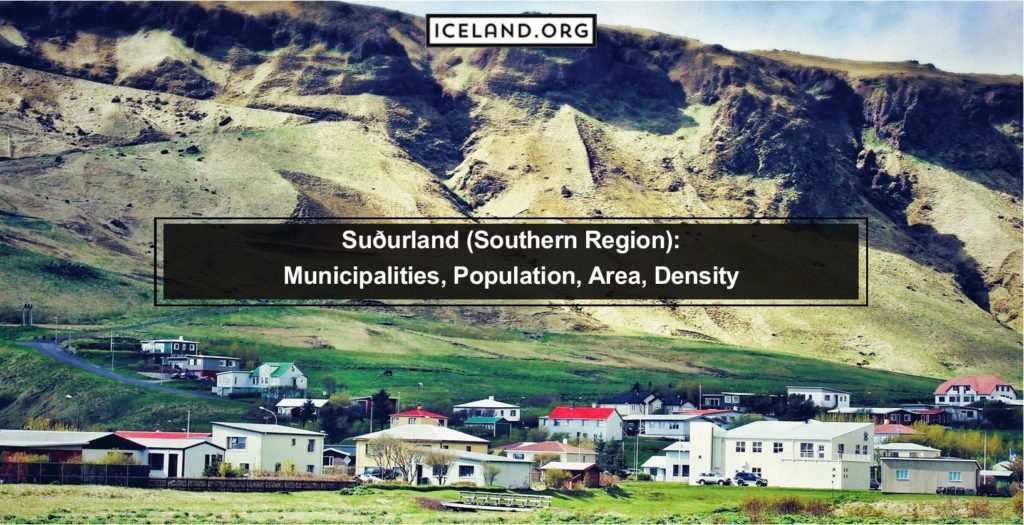
The Southern region is the biggest region in Iceland at more than 24,000 square kilometers. The GPS coordinates for the country’s Southern region are 64.2661 degrees North and 18.8158 degrees West.
A couple of villages are slightly larger in the South region due to the popularity of tourism in the area. These include Selfoss at 6,510 people and Vestmannaeyjar at 4,219 people.
The biggest tourist attractions in the region include the Jökulsárlón glacier lagoon. The Gullfoss waterfall, the Geysir geothermal area, and the very famous Thingvellir National Park. You can get to the main attractions if you branch off the Ring Road or Golden Circle sightseeing route.
What are the facts about Regions in Iceland?
The two million tourists each year spread themselves throughout the entire country of Iceland. Many people take the Ring Road during the months from May to October to visit as many regions of Iceland as possible. It is possible to visit most of them during the winter, but access to some of the natural sites will be more restricted.
The land area of regions in Iceland varies quite a bit. The smallest region is under 1,000 square kilometers, while the largest is more than 24,000 square kilometers. The average area for regions in Iceland is 14,425 square kilometers.
How are Icelandic Regions Determined?
Iceland’s regions were developed from the parliamentary constituencies formed between 1959 and 2003. They were formed to help better divide the country through tourism and governing bodies. However, they are not consistently recognized administratively in the country since the populations and villages are so spread out.
The postal system roughly corresponds to these regions. Typically the first digit in Iceland’s three-digit postal codes will be related to the number associated with their region. For example, the Capital Region is number one, and the Southern region is number eight.
If you look at a map of the split in the regions, you will notice that many of the regional lines in the country’s center are split because of mountain ranges. There are long ranges that are difficult to cross in central Iceland, which is what gave rise to regional differences all the way back to 1,000 AD.
What is the biggest Region in Iceland?
The biggest region in Iceland is the Southern Region by about 2,000 square kilometers. At 24,255.2, the Southern region takes the cake for encompassing the most amount of land. That is about the size of Massachusetts in America, one of the smaller states. There are only 28,399 people that live there, according to the 2020 census.
There are many tours in the Southern Region of Iceland because of its incorporation of its more famous National Parks. The best time to visit this area is in June through September, although September is one of the rainier months of the year leading into winter.
What is the smallest Region in Iceland?
The smallest region in Iceland is the Southern Peninsula. Although it has the least amount of land area at 829.1 square kilometers, it is one of the densest populations. It also sees a massive influx of tourists every year because of the presence of the Blue Lagoon.
What is the prominence of Regions for Iceland Geography?
Icelandic regions are relatively loose terms compared to the separation modalities from other countries. For example, ‘states’ in America and ‘provinces’ in Canada have governing bodies and structures that supersede some of the nation’s governmental structure.
How do Iceland’s Geographical Structures differ by Region?
The regions in Iceland are roughly broken apart due to their varying geographies. Like other countries’ borders or the separation of their internal regions, geography is a shaping force.
The most influential factor within Iceland’s geography is its mountain ranges. There are many ranges of mountains and volcanoes across the central expanse of Iceland. When looking at a map, these are driving factors for the division of regional lines that run East to West. From North to South, mountains and primary rivers are the dividing lines between the regions.
How does Iceland’s Climate differ by Region?
The climate doesn’t vary significantly across most of Iceland. However, the northern half of Iceland is colder than the southern half because of the Arctic tides that move around the top of Iceland.
The weather in most of Iceland averages between 33 and 35 degrees Fahrenheit (1 to 2 degrees Celsius) in the winter and around 54 degrees Fahrenheit (12 degrees Celsius) during the summer. This only varies by several degrees on average across the country.
How do Iceland’s Economic Activities vary by Region?
The primary markets in Iceland are aluminum smelting, tourism, and fishing. These vary by region, particularly aluminum smelting. For example, the largest aluminum smelting plant is run by hydropower in the Eastern region of Iceland. These enormous factories are generally placed on rivers for hydroelectric power in very remote portions of the country.
Fishing is the most critical industry in the South West of Iceland. The Southern, Southern Peninsula, and Western regions rely heavily on their fishing industry for a stable economy. The Westfjords also have an essential fishing economy, although more focused on warmer months.
The rest of the country relies heavily on tourism. That is why you can find so many tours to do almost anything nature-based or cultural throughout all of Iceland. The Southern Peninsula relies on its large influx of tourists to the Blue Lagoon. In addition, the Southern region hosts Thingvellir National Park, another of the most significant tourism draw for the country.
What is the effect of Regions on Iceland’s Economy?
The economy of Iceland, on the whole, is quite impressive, ranked 6th among the 45 European countries. Since the population is only dense in the southeastern portion of the country, it stands to reason that most of the country’s economy is based there. The Capital Region in Iceland has the most stable income. The tourism sector in the south of Iceland makes the southern half of Iceland, on the whole, much more economically viable than the North.
How does Iceland’s Culture vary by Region?
Iceland’s northern and southern cultures have developed slightly separately because of the expansive mountainous regions in the country’s center. Both of them hail from Norse settlers in the early 800s. However, the harsher climate of the North saw a difference in the people that settled there.
One of the differences can even be seen in the homes of the North. Many of the old homes were buried in the layers of turf to insulate them better from the year-round freezing temperatures. Even now, many of the houses are dug into hills and topped with layers of turf. These roofs are also much better equipped to deal with harsh weather patterns.
How do Iceland’s Governments differ by Region?
Iceland is a democratic country governed by a multi-party system. The country’s government is not strictly divided by its regions. However, each region has a village or city that is its’ seat.’ These will play host to the government buildings in each region.
How are Cities Distributed in the Regions of Iceland?
All the largest cities in Iceland are located in the Southwestern portion of the country. For example, the largest Icelandic city is Reyjavik, with more than 100,000 people and about 62% of Iceland’s total population. That makes the Capital Region the most populated. The next largest is Kópavogur, with 37,959 and a location right next to Reykjavik.
The next most densely populated is the Southern Peninsula. However, this is because of its very small land area, since its population is only about 28,000 people. About 25,000 people in a region is the national average discounting the Capital Region.
