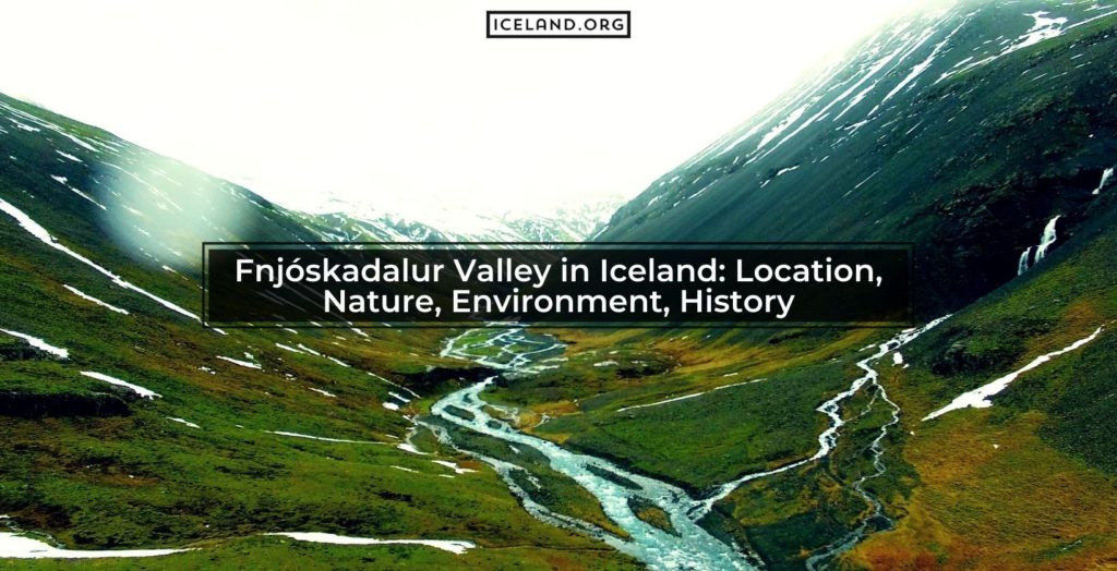
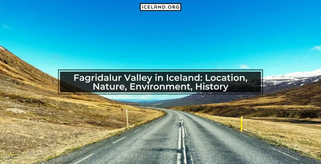
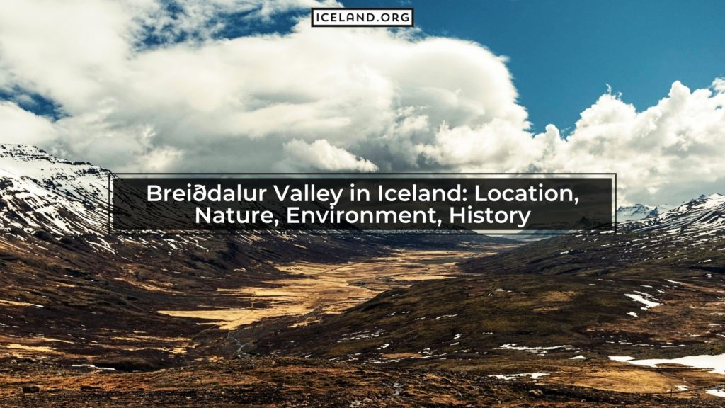
Fnjóskadalur Valley is in Northeast Iceland. It is an agricultural valley northeast of Akureyri about 10 km (6 miles). It is located at the GPS coordinates of 65°44′N 17°54′W. Fnjóskadalur Valley in Iceland is perhaps best known for the popular salmon angling river that runs through the valley, the Fnjóská. This river also is the longest spring-fed river in Iceland, originating in Sprengisandur in the Highlands.
The second-largest forest in Iceland, called Vaglaskógur, is located in the valley’s center. there are other wooded areas towards the northern portions of the valley. It is from all of this woodland that the valley gets its name. The word fnjóskur means ‘a dry piece of wood’, and dalur means ‘dale’ or ‘valley.’
What is the size of the Fnjóskadalur Valley of Iceland?
The valley doesn’t have exact boundary lines, especially the further north you get, so it is difficult to measure its exact size. However, the Vaglaskógur forest itself is 300-hectares of land, and the valley is at least twice the size of its central forest.
What plants are grown in Fnjóskadalur Valley?
The primary plants that grow in this valley are birch and spruce trees because of the kind of forests developed in the valley. Around the woodland areas, the valley is primarily agricultural and allotted for grazing animals.
Which Rivers are Connected to the Fnjóskadalur Valley in Iceland?
The main river that runs through the Fnjóskadalur Valley is the Fnjóská River. The river is well-known for its excellent salmon fishing. Because of it, the valley is quite popular.
Which Cities are Closest to the Fnjóskadalur Valley of Iceland?
The closest city to the Fnjóskadalur Valley is Akureyri. The next closest village is called Fossholl. However, since the valley is located in the northern region of Iceland, it is more remote.
What is the History of the Fnjóskadalur Valley in Iceland?
The valley was likely more densely wooded before the first settlement around 900 AD. Records written sometime between 1122 and 1133 show that Iceland was covered in woods from seashores to the mountainsides. This valley was used for its agricultural value because of the sediment deposits. These created richer topsoils than could be found in the majority of the country.
What to do in Fnjóskadalur Valley in Iceland?
The two most popular things in this valley include hiking and fishing. There are trails scattered throughout the valley. You just need to avoid trampling on managed farmland in the area. Most of the trails take you through some of the ancient woodland located in the valley.
If people specifically travel to this valley, it is often for salmon fishing in the river. You can stay in Akureyri and fish during the day to have an amazing trip.
Is there a Waterfall in Fnjóskadalur Valley?
There are two popular waterfalls on either side of this valley. One is called Godafoss and the other Foss. Godafoss is one of the most well-known rivers in Iceland. People travel for many miles or take specific stops off the Ring Road to visit this waterfall.
