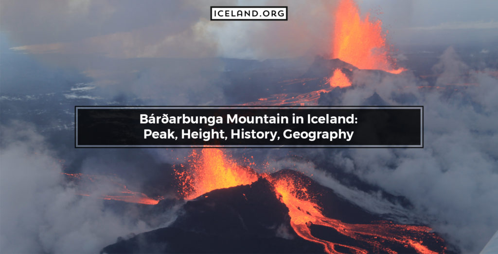
Geologically speaking, the Bárðarbunga Mountain is a subglacial stratovolcano. It is also the second tallest mountain in Iceland. Bárðarbunga is a glacier-covered landform under Vatnajokull, Iceland’s largest glacier. Its sizeable caldera is over 80 kilometers long, 10 kilometers wide, and 700 meters deep. Situated in central iceland, Bárðarbunga is not as well-known as other volcanic mountains. This is due to the remote location and relatively infrequent volcanic activity. Bárðarbunga last erupted on August 29, 2014, when it produced a fissure eruption.
What is the Location of Bárðarbunga Mountain?
Bárðarbunga is located in central Iceland with geographic coordinates 64.6410° N, 17.5280° W. The Bárðarbunga Mountain is part of the Vatnajokull National Park.
What is the height of the Bárðarbunga Mountain?
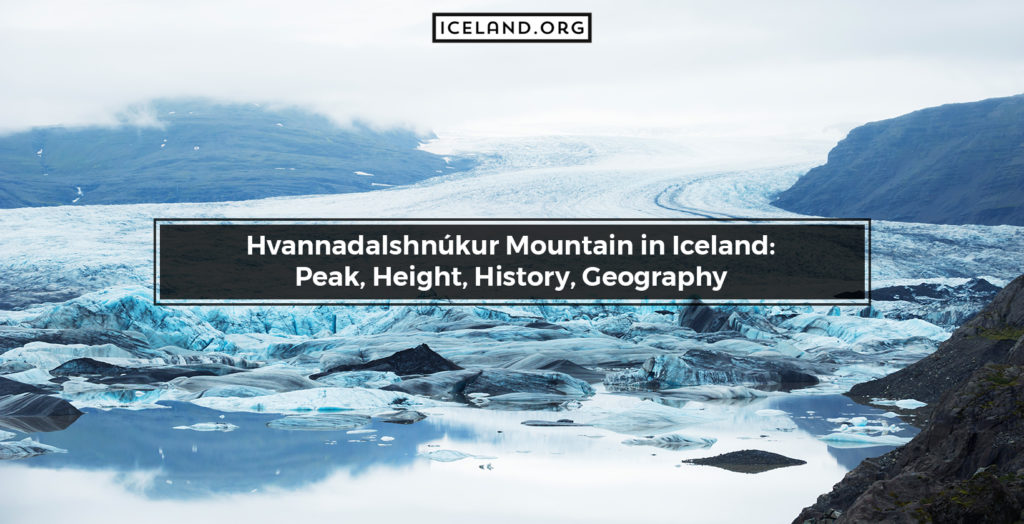
Bárðarbunga Mountain is 2.009 meters (4,961’) tall. This makes Bárðarbunga the second highest mountain in Iceland. The only mountain higher than Bárðarbunga is Hvannadalshnjúkur.
What Type of Volcano is Bárðarbunga Mountain?
Bárðarbunga classifies as a subglacial stratovolcano. The term subglacial means it lies beneath a glacier. A stratovolcano is a specific and particularly common type of volcano consisting of several layers of hardened lava, ash, tephra, and volcanic material.
When was the Last Eruption in Bárðarbunga Mountain?
Bárðarbunga last erupted on August 29, 2014, and the fissure eruption lasted until February 28, 2015. Before the eruption, there was a pronounced seismic activity in the area, with over 1.600 earthquakes in as little as 48 hours. After the eruption ended, Bárðarbunga was re-opened for visitors on March 16, 2015.
Is there an access to Bárðarbunga Mountain?
Yes, Bárðarbunga is accessible. However, due to the remote location, traveling requires a 4×4 vehicle. To get to Bárðarbunga Mountain, visitors need to take Mountain Road F26.
Is There any Hiking Tour to Bárðarbunga Mountain?
Yes, there are hiking tours to Bárðarbunga Mountain in Iceland. In fact, hikes have become a popular activity for tourists, especially after the 2014 eruption. This is because now hikers get to see the newly formed lava fields around Bárðarbunga.
Images of Bárðarbunga Mountain
What are the similar mountains to Bárðarbunga Mountain in Iceland?
Mountains in Iceland similar to the Bárðarbunga Mountain are:
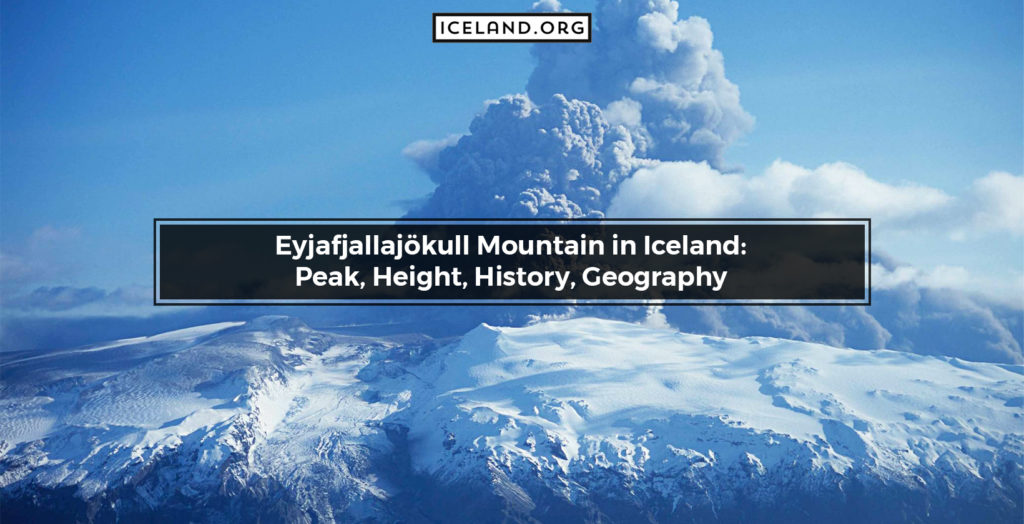
- Eyjafjallajökull Mountain (4.882′)
- Hofsjökull Mountain (5.046′)
- Hvannadalshnúkur Mountain (6.952′)
- Snæfellsjökull Mountain (6.921′).
Are there any National Park in Bárðarbunga Mountain?
Yes, Bárðarbunga is located on one of the three National Parks in Iceland. To be more precise, the mountain is part of Iceland’s largest Vatnajokull National Park. Vatnajokull is one of the largest wilderness areas in Europe and covers an area of 14.141 square kilometers (5.460 square miles).
Are there Volcanoes around Bárðarbunga Mountain in Iceland?
There are many active volcanoes in Iceland, and Bárðarbunga is one of them. It is classified as a subglacial stratovolcano. Bárðarbunga is a critical part of a large volcanic system that is 25 kilometers wide and as much as 200 kilometers long.
Are there Glaciers around Bárðarbunga Mountain in Iceland?
Glaciers in Iceland often cover volcanoes and mountains. Bárðarbunga is the perfect example of this. Namely, Bárðarbunga is covered by the north-western parts of Vatnajokull, Iceland’s largest glacier and second-largest in Europe.
Which city is closest to Bárðarbunga Mountain in Iceland?
There are not many Cities in Iceland close to the Bárðarbunga Mountain. The closest settlement is Akureyri. However, the term closest is used loosely as it would take travelers a couple of hours to cross the distance.
